
Contact for Price
150.000 m2
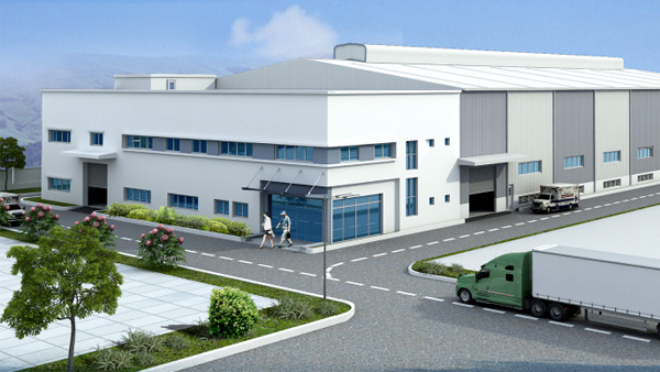
Bac Ninh
Factory
KTG Industrial Yen Phong 2C
KTG Industrial Development Joint Stock Company (KTG Industrial)
Request Info
To learn more about this offer, please provide us your contact information
Download Brochure
To download this brochure, please provide us your contact information.